Pictures from the Granby Model
The Granby model is a work in progress. The main sources we have for Granby residents are the 1790 and 1800 census records. The best property descriptions come from Granby real-estate ads that appeared in the 1790's in Charlestown newspapers. We also have bits and pieces of other people and property descriptions which span the full life of Granby (1758-1850). The Granby blocks/lots are based on an 1787 drawing made by the Taylor family which was later redrawn into what is held by the Cayce Museum. The research behind this model will continue for some time and the model will gradually develop. You can download the Google Earth model here. Within Google Earth you will be able to move around Granby and even walk across Wade Hampton's Bridge.
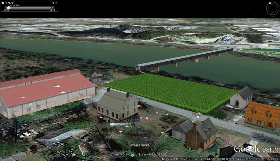
Above: View looking down on the Town from the South-West
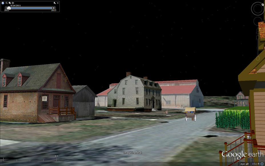
Above: View looking North North-West from Granby's Front Street
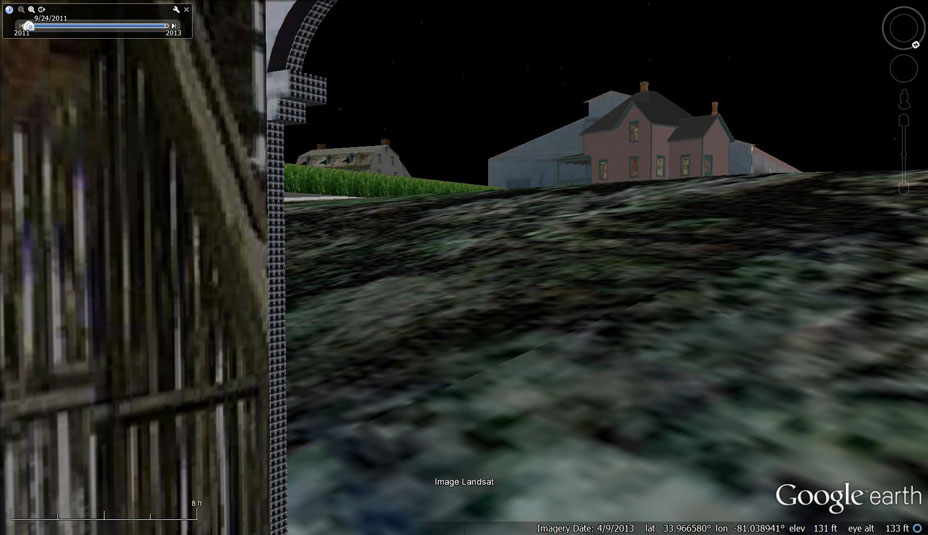
Above: View looking South South-West from the western entrance of Hampton's Bridge at Friday's Ferry on the Granby side of the Congaree River.
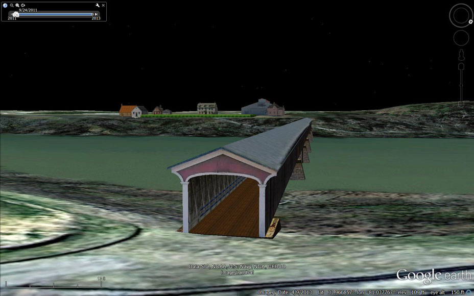
Above: View looking South South-West from the eastern entrance of Hampton's Bridge at Friday's Ferry on the Columbia side on the Congaree River.
Above: View looking down on the Town from the South-West
Above: View looking North North-West from Granby's Front Street
Above: View looking South South-West from the western entrance of Hampton's Bridge at Friday's Ferry on the Granby side of the Congaree River.
Above: View looking South South-West from the eastern entrance of Hampton's Bridge at Friday's Ferry on the Columbia side on the Congaree River.
Above: View looking South South-West from the western entrance of Hampton's Bridge at Friday's Ferry on the Granby side of the Congaree River.
Above: View looking South South-West from the eastern entrance of Hampton's Bridge at Friday's Ferry on the Columbia side on the Congaree River.