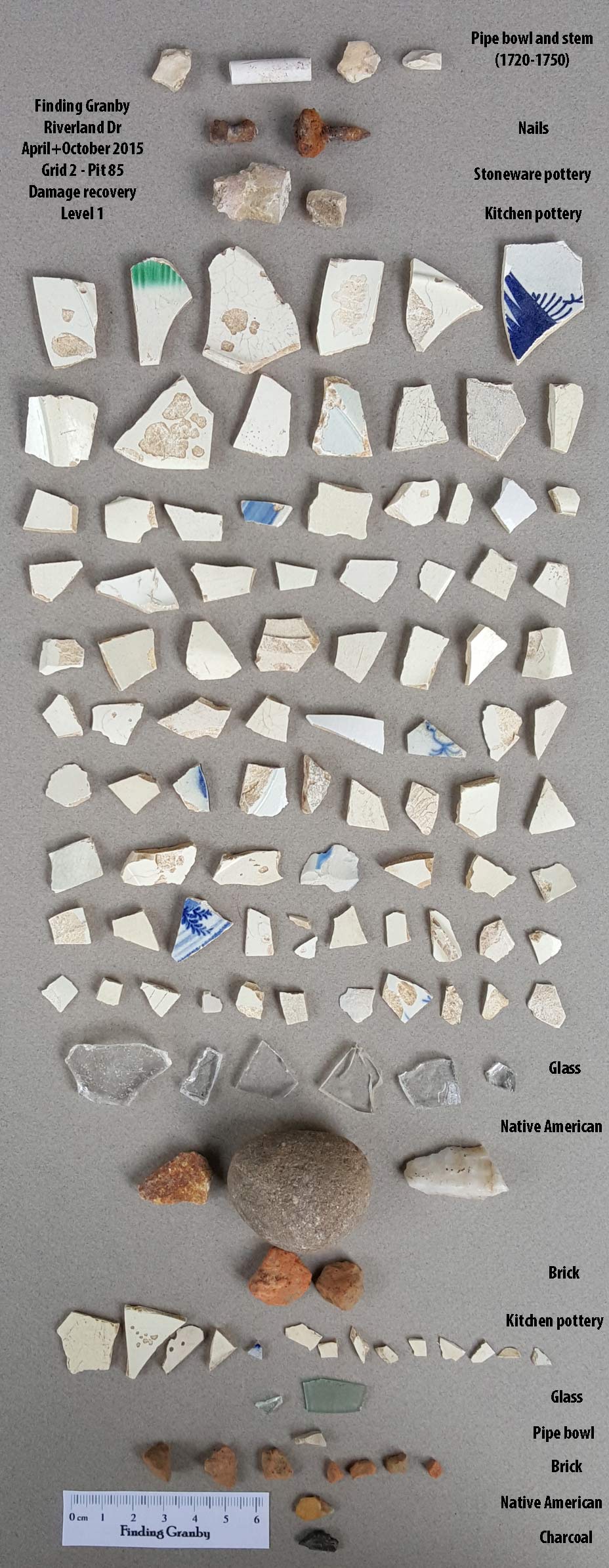
Damage account 85:
Nature and some reckless driving did all the digging for us here. Two events in 2015 led to the exposure of a significant number of artifacts. What normally would have been Pit 85 is now going to be used to account for these artifacts. The site was damaged early in the Spring by large emergency vehicles which dug several inches into the grass of Brookcliff and Riverland Drive. Over a period of several weeks, rain exposed artifacts. The other damage event was a combination of construction of a park across the street from the dig site which led to more damage of the surface on both sides of the road. About 20 artifacts were initially exposed. The torrential rains of October 2-5 of 2015 exposed almost another 100 artifacts.
Damage account 85: produced: 100 pieces of pottery, 8 pieces of glass, 2 nails, a 1720-1750 pipe stem, 4 pipe bowl pieces, 3 Native American pieces, and a complete Granby brick.
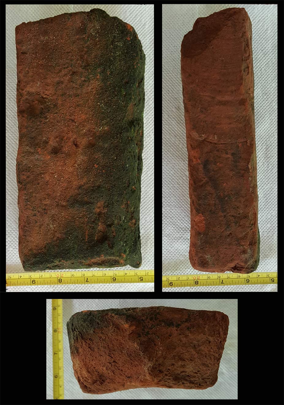
Below is a complete Granby brick (same dimensions as the standard Colonial period brick) with a thumb print.
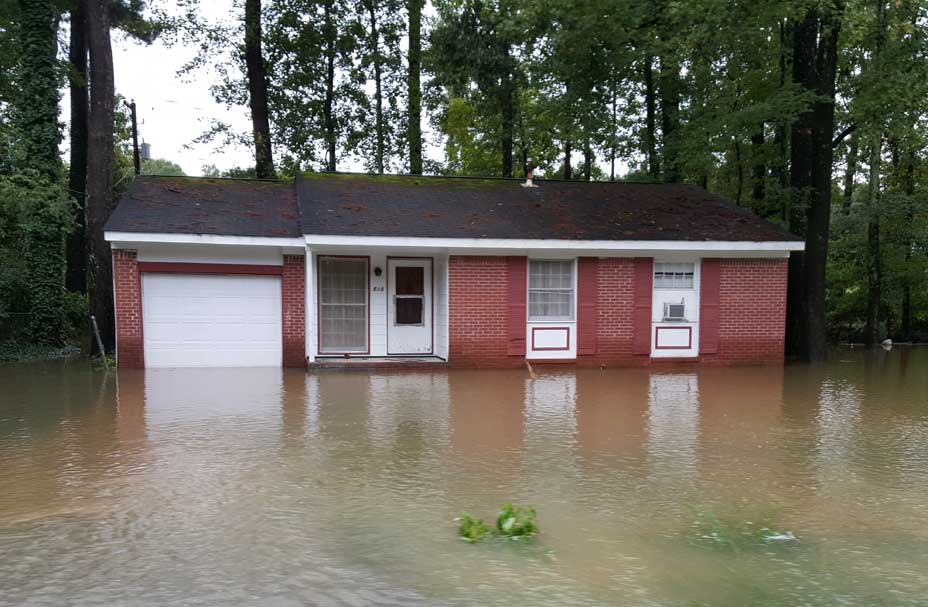
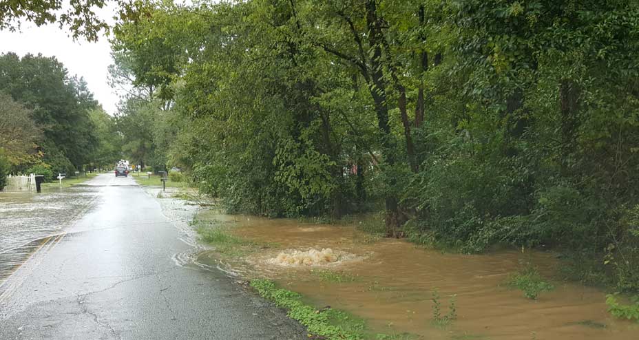
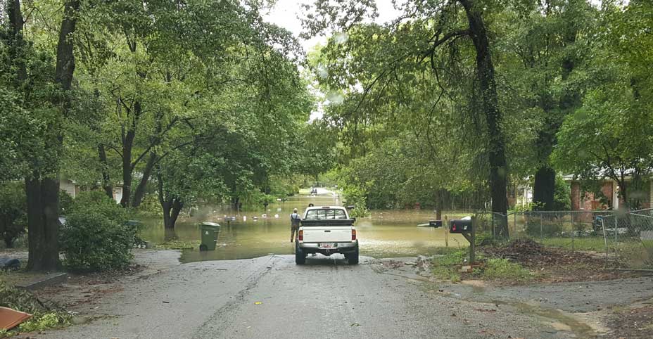
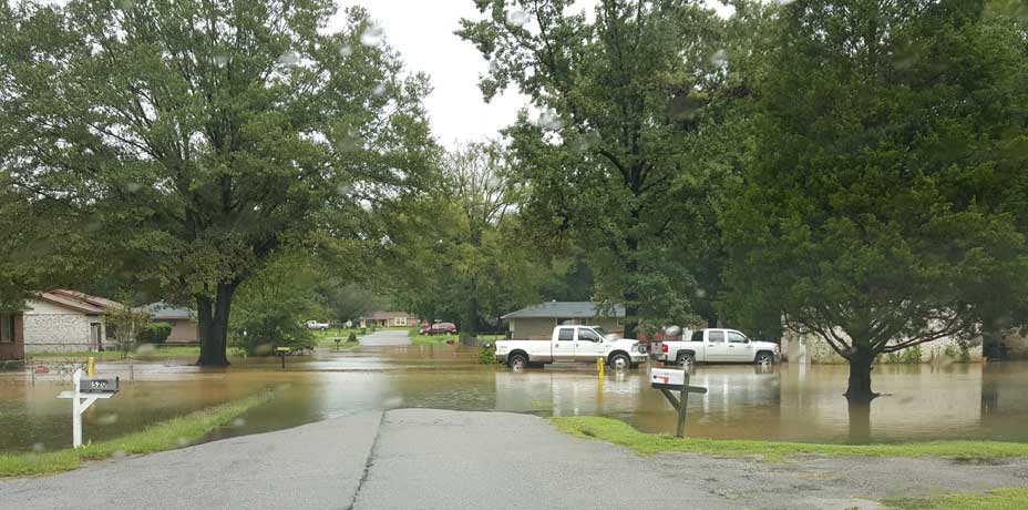
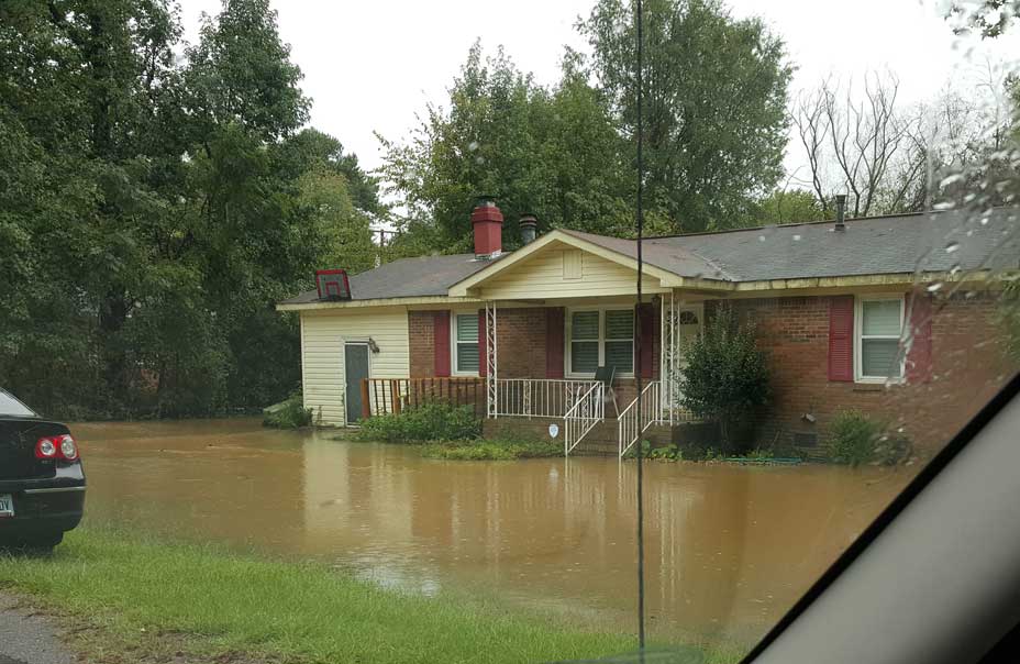
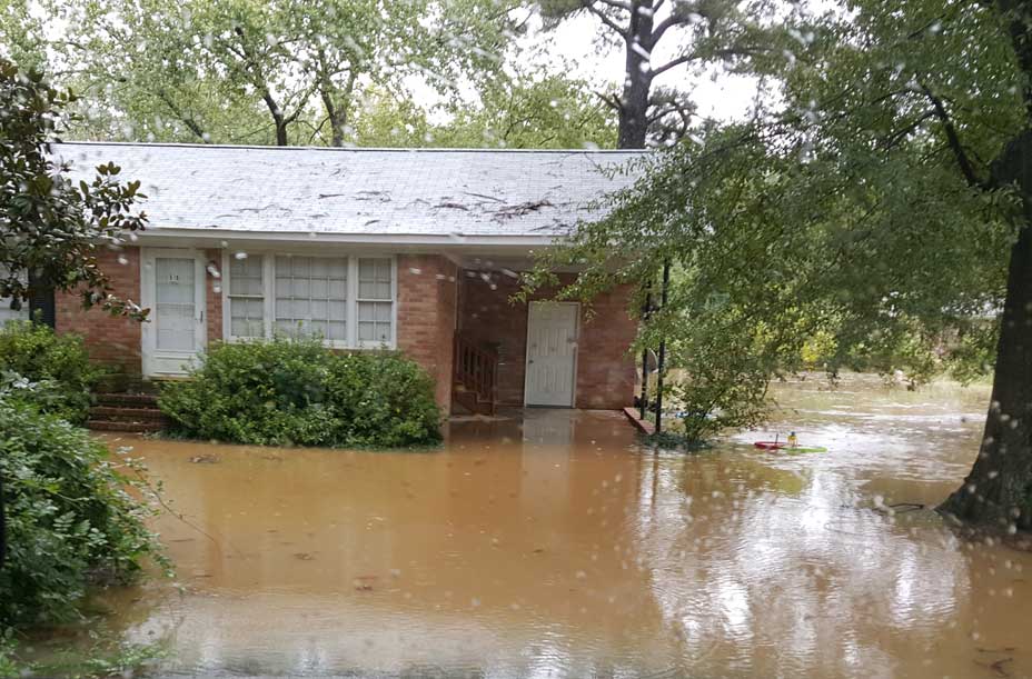
Below are photos taken in the Riverland Park neighborhood when the river level was 30.4 feet. The first time in 79 years the river had gone over 30 feet. At this point, all the water was coming out of the ground and not over the riverbank. Within 30 minutes, the water would come over the bank at the location of our Fort Congaree II dig site. There was great fear at that point that most of the homes would have significant flood damage (including our Granby dig house) but the river crested at about 32 feet. Even though houses just a few doors down (away from the river) from the Granby dig house were in several feet of water, the level never reached the dig pits on our property.