Sarah Friday's 1810 Granby Drawing
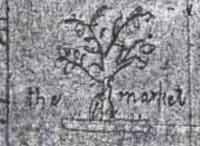
The Market

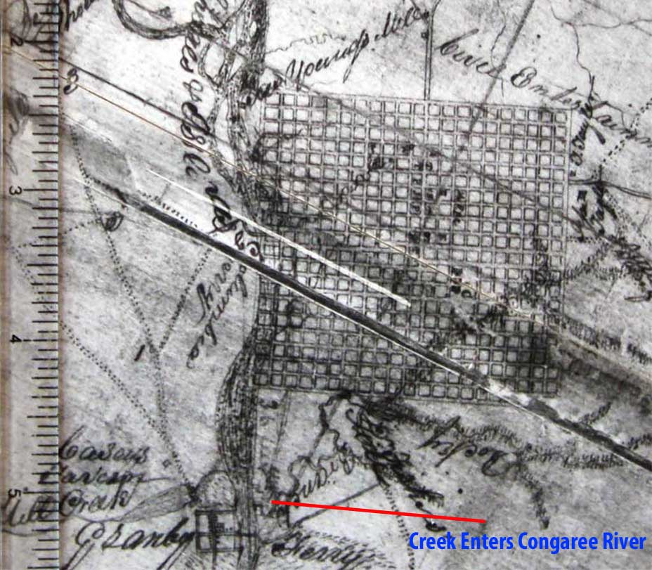
Most old maps that show Granby have it marked with a standard squared-off town area. Like in the following 1818 survey:

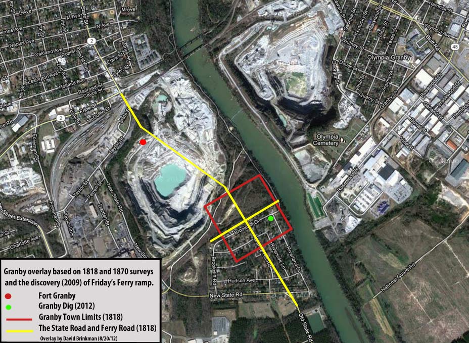
Using the 1818 survey and an 1870 survey (which both show the same creek, with the 1818 survey showing the creek entering the Congaree River just above Granby) we are able to place this square on today's aerial view:

Sarah Friday's drawing of Granby, however, shows that Granby ran mostly along the Old State Road. In the area where most maps show a square is where Friday's Ferry Road (also known as the old Platt Springs Road) crossed the Old State Road. This is where the courthouse stood. In front of the courthouse, Sarah shows a tree and a Market in the middle of the Old State Road. In "Site Study of Granby Plantation" by Katherine Hurt Richardson: "Granby developed into a single street town along the state road with a wide place in the main street which was used as the market."
Check back later